CloudyRadiances

The accuracy of numerical weather prediction models and forecasts is to a great extent depending on the observation data which is used to create the atmospheric initial conditions for the model run. Satellite data have played an important role for many years already and have contributed to significant improvements in forecast quality.
However, just a small fraction of the overall available satellite data is used nowadays (5-10%). The reason for that is that only radiances from cloud-free areas are usually assimilated into weather models at the moment. But in practise, the cloudy areas tend to be sensitive for the development of certain weather phenomena which are in particular challenging to predict. That is why data from these regions have a high potential to bring significant improvements accordingly.
Exploiting satellite radiances in numerical weather prediction models from cloudy regions, so-called cloud-affected radiances (or cloudy radiances), is a challenging task. Only a few global operational models worldwide assimilate cloud-affected radiances at the moment, and if they do so, just infrared channels are used, but no visible channels or even a combination of both. An application in regional weather models, in particular for the Alpine region, is not known.
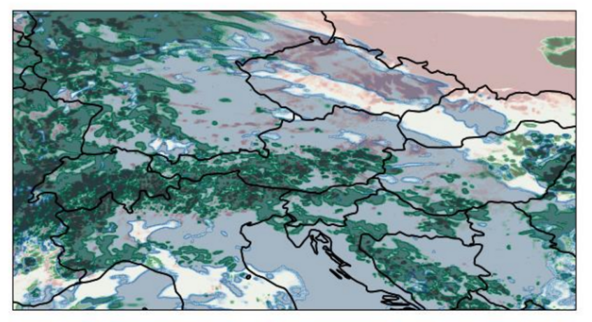
Within the project CloudyRadiances the project partners ZAMG (Zentralanstalt für Meteorologie und Geodynamik) and IMGW (Institut für Meteorologie und Geophysik, University Vienna) thus formulate the target to assimilate cloudy radiances in a convection-permitting regional model (AROME) for the first time and even go beyond that: In addition to infrared channels also visible channels will be used and exploited. The latter in particular has the potential to improve the forecast accuracy for summertime convection, fog or low stratus during wintertime.
Several technical and methodical developments within the AROME model have to be completed to evaluate the impact of this data on the forecast. Available operators for translating observational variables into model variables (and vice versa) have to be implemented and modified to cope with the topographical conditions in the Alpine region. Extensive tests will finally prove whether an extended usage of satellite observations will result in improved forecast quality.
Project results and deliverables will be of high interest for the international community of model developers (e.g., ACCORD consortium) and will be disseminated accordingly.
Key Facts:
- Project duration:
1.11.2022 - 31.01.2026 - Funding body: BMK via FFG
- Program: Austrian Space Application Program 18
- Project volume: 341k
- Project team:
GeoSphere Austria: Adhithiyan Neduncheran, Florian Meier, Christoph Wittmann
IMGW: Sandy Chkeir, Philipp Griewank, Martin Weissmann

